What sort of books inspired you as a child?
E. L. Konigsburg’s From the Mixed-Up Files of Mrs. Basil E. Frankweiler struck me as a safe sort of urban adventure, one that entails running away from the New York suburbs to the Metropolitan Museum of Art. In my teens, Betty Smith’s A Tree Grows in Brooklyn shaped my early interest in poverty, religion and the city.
Your new book, Mapping Society, examines ‘the social complexity of cities’. Which books first triggered your interest in this topic?
My initial interest in social maps came from Bill Hillier and Julienne Hanson’s theories of space syntax, laid out in The Social Logic of Space, which I first encountered in the 1990s. Around that time I also discovered the map of “Jewish East London” within the leaves of The Jew in London. The book captured the pattern of Jewish settlement at the time in graphic detail. The map’s author, George Arkell, had worked with Charles Booth on Life and Labour of the People in London. I soon realised that London’s East End, which had been perceived to be an immigrant ghetto, had a spatial complexity that warranted detailed exploration; 25 years later, I am still mining the riches of its urban spatial history.
Which theoretical works did you find most useful for your analysis?
Robin Evans’ Rookeries and Model Dwellings influenced a lot of my early thinking, while social histories by Bill Fishman (East End 1888) and H. J. Dyos (The Victorian City), and the more recent historical geography of Cities in Modernity by Richard Dennis, showed me a way to research social cartography through the prism of a locale’s physical, cultural and economic context. David Sibley’s Geographies of Exclusion and the work of Ceri Peach on the geography of ethnic pluralism spurred me to analyse the spatial complexity of segregation.
What general accounts would you recommend about the history of mapping?
Great Maps by Jerry Brotton is a good illustrated introduction. Peter Barber’s London: A History in Maps gives a similarly long mapped history of the city. Regarding social cartography, I’d recommend The Ghost Map, an account of the 1854 cholera epidemic and the establishment of disease mapping as a scientific method. I must also mention The History of Cartography, much of which has been made available open access by University of Chicago Press.
What is the last book you gave as a gift, and to whom?
I’m fascinated by how immigrants balance multiple identities, so beautifully described by Eva Hoffman in Lost in Translation. The last book I gave as a gift was The Exiles Return by Elisabeth de Waal, to a relative who came to England as a child refugee.
What books do you have on your desk waiting to be read?
A Walk Through Paris by Eric Hazan, which describes a route between the city’s northern and southern banlieues through its working-class territories, and Municipal Dreams by John Boughton, a history of council housing in Britain.
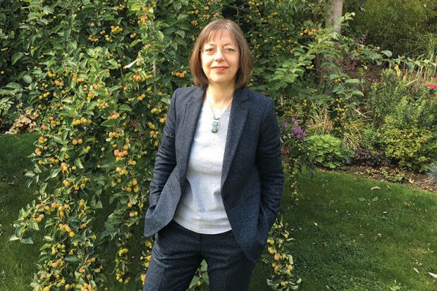
Laura Vaughan is professor of urban form and society in the Bartlett School of Architecture, University College London. Her latest book is Mapping Society: The Spatial Dimensions of Social Cartography (open access with UCL Press).
Register to continue
Why register?
- Registration is free and only takes a moment
- Once registered, you can read 3 articles a month
- Sign up for our newsletter
Subscribe
Or subscribe for unlimited access to:
- Unlimited access to news, views, insights & reviews
- Digital editions
- Digital access to THE’s university and college rankings analysis
Already registered or a current subscriber? Login


